Nature
Manthoka Waterfall
A 180-foot curtain of water in Kharmang valley
- Altitude
- 2,300 m / 7,545 ft
- Distance
- 80 km from Skardu city
- Drive time
- 2-2.5 hours
- Best season
- May to September
- Entry
- Small local entry ticket
- Category
- Nature
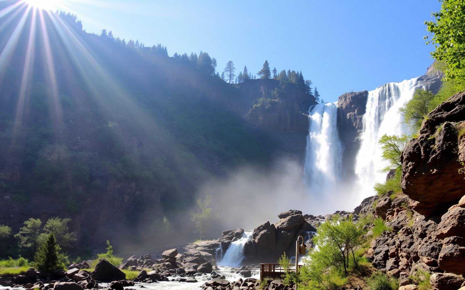
Manthoka is the largest waterfall in Baltistan, a broad, loud drop of roughly 180 feet in Kharmang district, reached on the road that eventually runs towards Kargil and the Line of Control.
A walkway and viewing platforms have been built out towards the spray, and the surrounding grove is set up for picnics with charpoys and food stalls in summer.
Flow is heaviest from late May through July when the snowmelt peaks. By late September the fall narrows considerably.
Highlights
- Baltistan's biggest waterfall
- Viewing platforms right beside the spray
- Shaded picnic grove and food stalls
- Scenic Indus-side drive through Kharmang
How to get there
Drive south-east from Skardu along the Indus towards Kharmang for around 80 km, then take the signposted side road to the falls.
Not sure how to reach the region itself? See how to reach Skardu by air and road.
Where to stay nearby
Kharmang has a few basic guest houses; most visitors return to Skardu the same day.
Where to stay near Manthoka Waterfall
Compare hotels, resorts and guest houses in and around Manthoka Waterfall, from budget rooms in the bazaar to heritage forts and lakeside resorts.
Book a guided Skardu tour
Jeep days to Deosai, multi-day Baltistan loops and full trekking logistics run by licensed local operators.
Best time to see Manthoka Waterfall at full flow
Manthoka's flow is heaviest from late May through July, when snowmelt from the surrounding mountains peaks, making the fall at its loudest and widest during these months. By late September the volume of water drops noticeably and the fall narrows.
Visiting during peak flow means more spray reaching the viewing platforms, so a light waterproof layer is worth carrying even on an otherwise dry day.
- Peak flow: late May to July
- Reduced flow by late September
- Viewing platforms sit close enough to catch spray
- Best photography light: late morning to early afternoon
Picnic facilities and the walkway at Manthoka
A built walkway and viewing platforms lead out towards the falls, and the surrounding grove is set up specifically for picnics, with charpoys and food stalls operating through the summer season. This makes it a comfortable family stop rather than a purely scenic drive-by.
Given the roughly two-hour drive each way from Skardu, most visitors plan to eat lunch at the falls rather than treating it as a brief photo stop.
- Built walkway and viewing platforms
- Charpoys and food stalls in the picnic grove
- Small local entry ticket applies
- Best treated as a half-day or lunch-stop destination
The Indus-side drive to Manthoka and Kharmang district
The route runs south-east from Skardu along the Indus into Kharmang district, roughly 80 km before a signposted side road leads to the falls. This is also the road that eventually continues towards Kargil and the Line of Control, so the drive itself passes through scenery rarely seen by visitors sticking to the Shigar or Khaplu routes.
Kharmang has a few basic guest houses for travellers wanting to break the journey, though the great majority return to Skardu the same day.
Manthoka Waterfall | questions travellers ask
- How far is Manthoka Waterfall from Skardu?
- Roughly 80 km, which takes two to two and a half hours each way depending on road conditions.
- Is Manthoka Waterfall worth visiting outside peak flow season?
- Yes, though the fall is narrower and less dramatic by late September, the drive through Kharmang district along the Indus remains scenic year round.
- Are there toilets or shade at Manthoka Waterfall?
- The picnic grove is shaded and has basic facilities including food stalls, making it more comfortable than many other outdoor sites in the region.
- Is the road to Manthoka paved?
- The main Indus-side road towards Kharmang is generally in reasonable condition, though check current conditions locally as sections can be affected by weather.
Nearby attractions
 Lakes
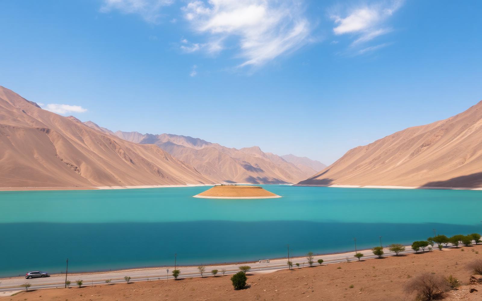
LakesSatpara Lake
Skardu's water supply and the doorway to Deosai
- Distance
- 9 km from Skardu city
- Altitude
- 2,636 m / 8,650 ft
 Heritage
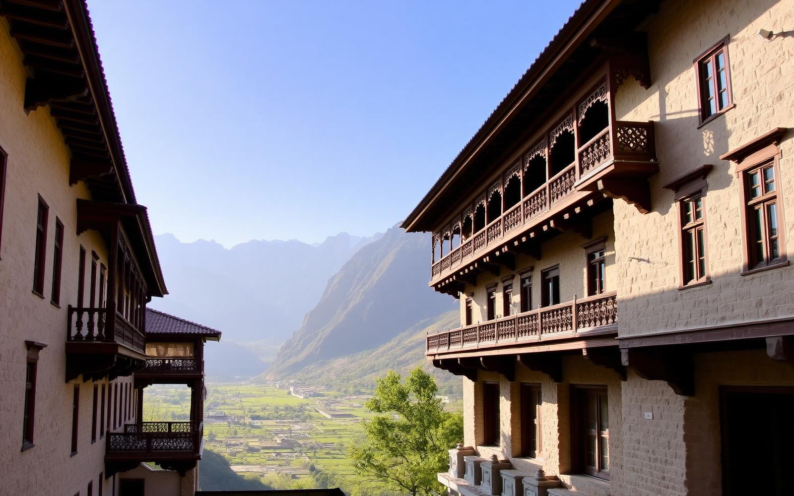
Khaplu Valley
Baltistan's most complete royal palace, above the Shyok river
- Distance
- 103 km from Skardu city
- Altitude
- 2,600 m / 8,530 ft
Browse all 15 tourist spots in Skardu.
Disclosure: some booking links on this page are affiliate links. If you book through them we may earn a small commission at no additional cost to you. It helps keep this guide free and independent.
Related pages